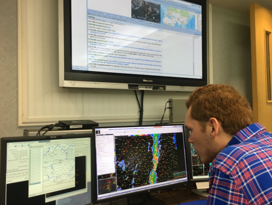
Have you ever wondered what the process of issuing a severe weather watch or warning is like? Nick Gilmore recently got a behind the scenes look at how meteorologists at the National Weather Service push those alerts out to the public.
Predicting the weather is an inexact science, where one tiny change in the atmosphere can make or break a forecast. That pressure is amplified in a severe weather environment, where lives and property could be at risk.
Meteorologists at the National Weather Service go through years of training to become familiar with meteorological basics and radar procedures.
Part of that training includes what is known as the Weather Event Simulator:
“The WES is a complex of computers that we use to actually run through past weather events in our area.”
James Morrow is a meteorologist with the Weather Service office in Blacksburg.
“And we use all the same data that occurred in real time in a duplicate-type environment and we are able to really train on our forecast skills.”
The WES presents the forecasters with the same software used to issue warnings in a real-life scenario.
In the event of a real severe weather situation, the forecaster has to determine what type of warning – such as a flash flood or tornado warning – is needed. From there, they will use a computer program to trace a storm’s track in an effort to map out the area where a warning is issued. Finally, the forecaster will add information about hazards such as lighting or hail to the text of the warning.
That whole process has to take less than a minute, which Morrow says leads to situations where meteorologists have to split duties:
“So if you are the radar operator, you will have backup to either issue follow-up statements to keep the warnings up to date or to help split up the area of concern; so if you have a really large area domain of where you are trying to warn, you could have someone cover the northern half while someone else takes the southern half.”
Morrow says the Weather Service focuses heavily on training exercises like the WES in order to maintain the service's mission of protecting life and property.
"We are often looked at and graded upon how we do when it comes to the lead time for each warning, the accuracy of each warning and the false alarm rates that each warning pertains. So, if a warning doesn't pan out, we issue and nothing happens, that ends up being a false alarm -- we warned an area that didn't see severe weather. Or, vice versa, if we miss a warning then it also looks bad on us because something did happen and we didn't have a warning out."
Officials at the Blacksburg office are opening up the WES exercise to some of its local media affiliates in an effort to help relay just what a forecaster goes through in an intense severe weather situation.
"In the past we have had some inquiries of why a certain warning looks this way or you know, what prompts a warning in an environment like this, and we thought the best way is to actually show you guys in person, 'Hey, this is the process we go through.' Through that we hope you have a better understanding and you're able to recognize, 'Hey, this polygon is shaped this way because they think this may be occurring.'"
I got to run through a simulation of last year's Appomattox tornado...
For those curious, I was told I passed the test with flying colors.


